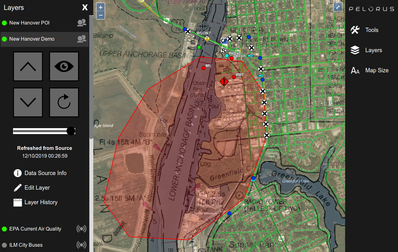
Pelorus is a collaborative mapping software built into DEN that can be used to improve situational awareness and build a common operating picture. Users can easily combine GIS data sources to build maps that show live conditions, live unit locations, and other location-based data. Dozens of locally stored map layers are available to speed up loading times, conserve cellular data usage, and provide the ability to work without an Internet connection.
Great for:
Unit and resource tracking
Sharing information between agencies and departments